Podrock, help
I used to be able to download grey scale elevation maps from the usgs at http://viewer.nationalmap.gov/basic/
Now they are in some *.img format I cannot view- I need .tiff, or .png- is there a converter (preferably free) that you recommend?
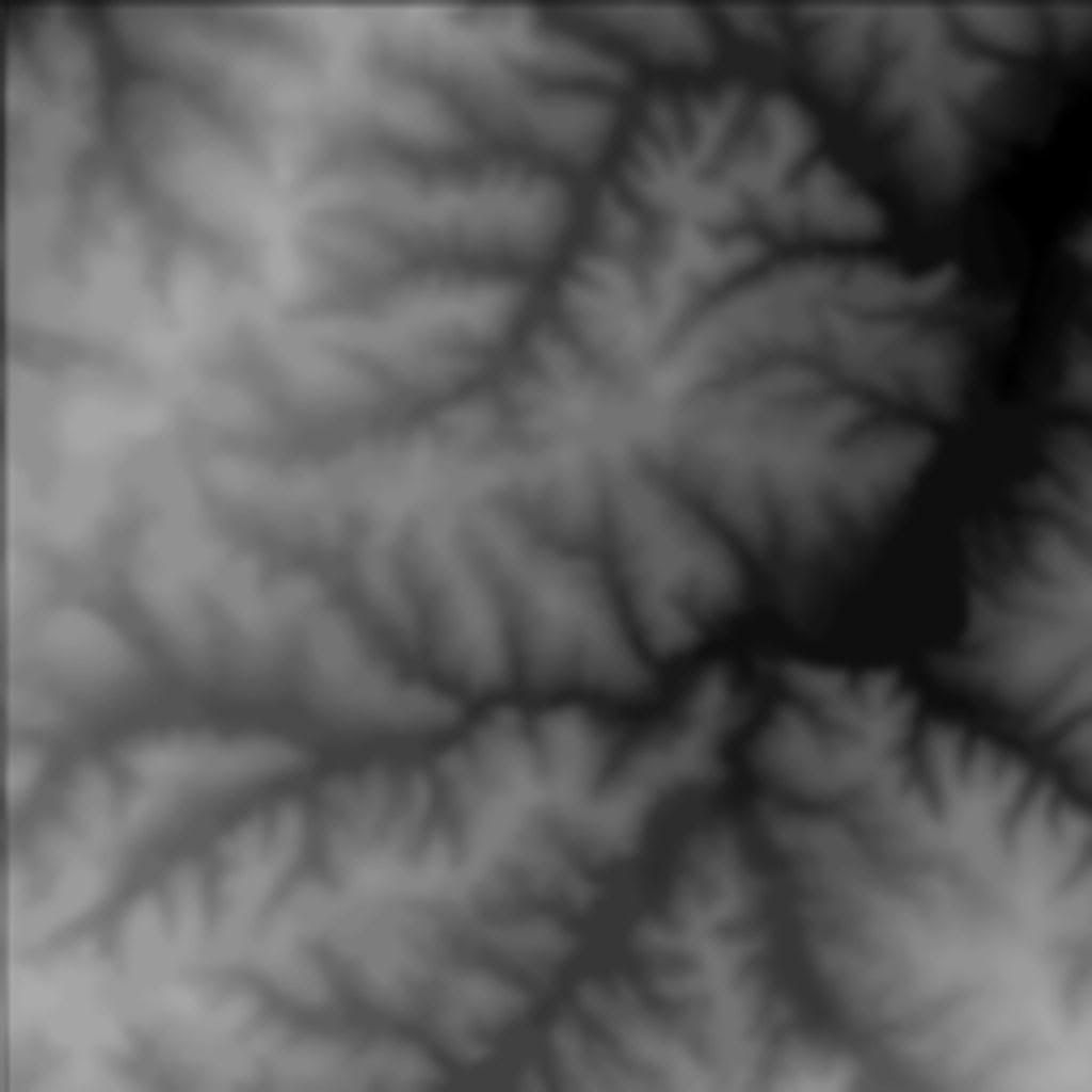
In the end I need images like this: