
Meanwhile, back in the real world...
Average Jan, 2018 Arctic sea ice extent, compared to previous January averages in the satellite era (National Snow and Ice Data Center). The long term behavior of the sea ice cover is indicated by the slope of the blue line. The loss of January sea ice averages to about 3% per decade. The loss of September sea ice (not shown) is about 13% per decade.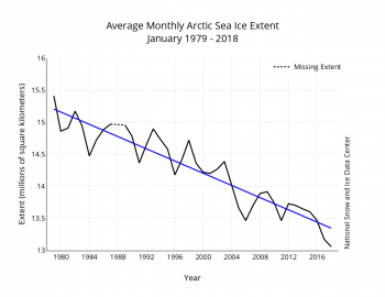
Winter Arctic sea ice extent compared to the past 40 year averages and the record low summer ice year of 2012.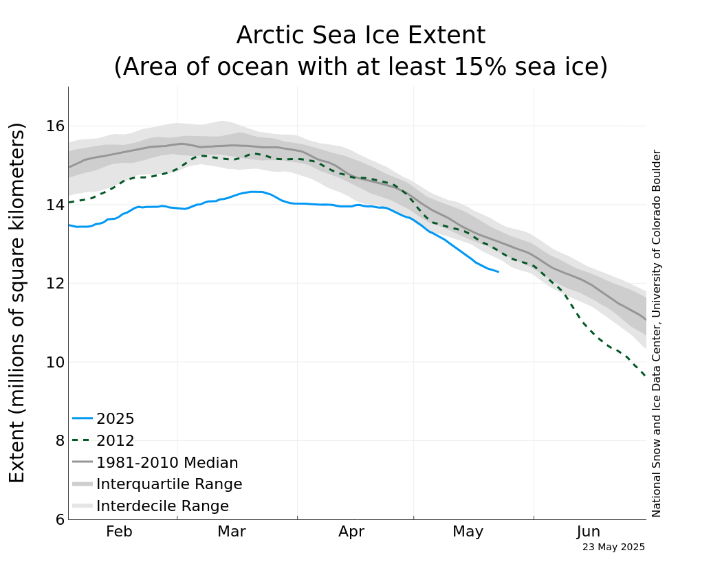
Any questions?