
Neat map, that:
It's the most complete mapping of south pole at 40 meter resolution. Now, I would like to know the scale in terms 1" inch equals what, and to have the names of the craters.
Obviously there still shadowed regions. And it's only 40 meter resolution. One can clearly see there are regions which very high and very low elevations within a relatively short distance from each other. Much of the lowest elevations are still shadowed from radar.
I tried to compared to other maps, such as: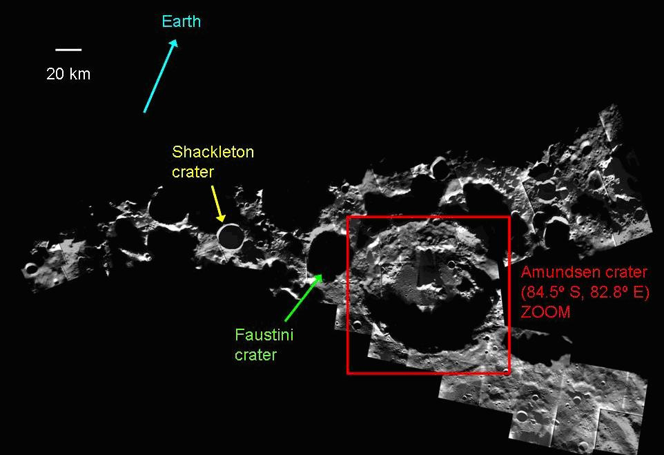
And I am not sure. Is Amundson crater on the upper left, and Shackleton crater kitty-corner down and still mostly dark.
I wish they put a "x" where the pole was.
Space/Science » in reply to NASA uses Goldstone to make best map of lunar south pole yet
re: NASA uses Goldstone to make best map of lunar south pole yet